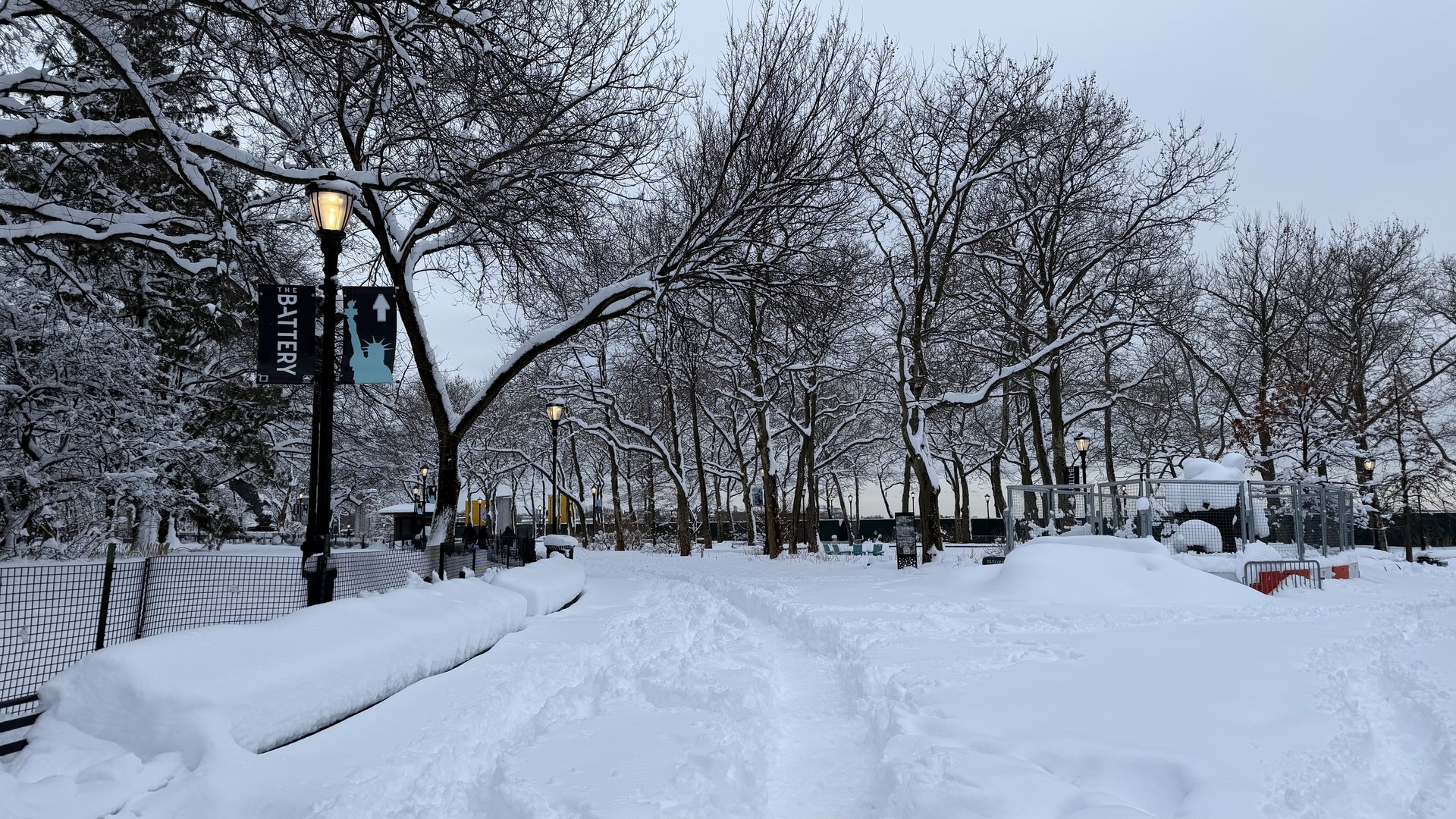
Searches for "polar vortex" surged across the United States this week, and the reason is real: high above the Arctic, the polar vortex is breaking down far earlier than it ever has before. Forecasters say the powerful winds circling the North Pole could reverse direction as soon as Sunday, 8 November 2026 — which would make this the earliest major polar vortex disruption on record. But before you dig out the heaviest winter coat, here is the part the viral posts usually leave out: no Arctic freeze is coming to the United States right now. This page explains, in plain words, what is happening 20 miles above your head, why it matters, when the cold could actually arrive — and how to be ready if it does.
What is happening right now
The polar vortex is splitting into two pieces. According to forecast models reported by Fox Weather on 3 November 2026, a high-pressure ridge building over the North Pole is pulling the vortex apart: one piece is moving toward Russia and Siberia, the other toward north-eastern Canada. The winds around the pole, which normally blow from the west at around 43 miles per hour, are slowing steadily and could reverse direction — blowing from the east — as soon as Sunday 8 November. If that reversal happens, it would be the earliest major polar vortex disruption ever recorded.
An artificial-intelligence weather ensemble run by Brightband, using 100 forecast members and published on 29 October 2026, agrees: 95 of its 100 members show the winds reversing in early to mid-November, bottoming out at about 11 miles per hour from the east around 10 November, and returning to normal westerly flow by about 16 November. The ensemble puts this event about four weeks earlier than any previous disruption in the short history of stratospheric observations. Most such events — called sudden stratospheric warmings — normally happen in the second half of winter or in early spring, not in the first week of November.
It is worth saying plainly what "earliest on record" does and does not mean. It describes the timing of a wind reversal high in the stratosphere, not a cold snap at street level. The two are connected, but the connection is slow, indirect — and this time, possibly weak.
What is the polar vortex, in simple words
Think of the polar vortex as a giant whirlpool of very cold air spinning around the North Pole. There are really two of them: one in the lower atmosphere, the troposphere, where our weather happens; and one much higher up, in the stratosphere, about 20 miles above the ground. The one making news now is the stratospheric vortex — a ring of strong westerly winds that bottles up the coldest air near the pole, like a fence around a freezer.
A "sudden stratospheric warming" happens when temperatures in the stratosphere rise rapidly — sometimes by tens of degrees in a few days — and the fence wobbles, stretches, or splits. When the stratospheric vortex is disrupted, the cold air it was holding back can eventually spill southward toward the United States, Europe, or Asia. The key word is "eventually": the process usually takes two to three weeks to work its way down to the weather we feel, which is why forecasters looking at this event are talking about a timetable around Thanksgiving, not this weekend.
Past disruptions have produced famous cold outbreaks — the winters of 2009, 2013 and 2018 all featured strong sudden stratospheric warmings. But not every disruption does. This one, forecasters say, looks weak, shallow and short-lived compared with those famous events, and the vortex is expected to rebuild within days.
The timeline, as forecasters see it
| Date | What is expected |
|---|---|
| 2–6 November | The stratospheric vortex stretches and splits into two pieces — one over Siberia, one over north-eastern Canada. |
| 6–8 November | Stratospheric winds slow and may reverse direction — the earliest such reversal on record, about a month earlier than any previous one. |
| 10 November | Winds bottom out at roughly 11 mph from the east, according to the Brightband AI ensemble; the Canadian piece of the vortex fades. |
| 16 November | Winds return to normal westerly flow; the vortex shifts toward the North Atlantic and Europe. |
| ~23 November | The vortex settles back near the pole; any cold air it released would be working its way down toward the surface. |
| Late November | Earliest window for any brief cold spell in the northern Midwest or north-east USA — if the disruption has any surface effect at all. |
Timelines like this move. Stratospheric forecasts are updated daily, and a weak event can fizzle entirely. Treat the dates above as the forecast on 7 November 2026, not a promise.
Why the USA is not about to freeze
Three facts keep forecasters calm about the next two weeks, even as the vortex splits overhead.
First, El Niño is in charge. A strengthening El Niño is shaping the weather pattern across North America, and NOAA expects it to keep intensifying through the autumn and winter of 2026–27. El Niño is feeding a pattern with a deep trough over the Gulf of Alaska and a strong ridge over western and central Canada that extends into the eastern United States — basically the reverse of the classic East Coast cold pattern. The Climate Prediction Center's long-range outlook favours above-average temperatures across much of the northern United States, including the Pacific Northwest, Northern Plains, Upper Midwest, Great Lakes and Northeast. In the Brightband ensemble, the eastern United States averages about 4 to 9 degrees Fahrenheit above normal each week through the rest of November, and only 7 percent of its 100 members show colder-than-normal conditions in mid-to-late November.
Second, there is not much cold air to send south. Temperatures across Canada and Alaska are above normal and are forecast to stay that way for the next two weeks. The only real pool of cold air is over eastern Siberia — and even there, temperatures are forecast to rise above normal next week. As DTN's forecasters put it, it is simply too early in the season for a major Arctic outbreak: the cold has not built up yet.
Third, the event itself looks weak. The early timing may actually limit how much cold air is available for a major outbreak, according to AccuWeather long-range meteorologist Alex DaSilva. The Brightband ensemble puts the chance of any week in the rest of November landing among the coldest 20 percent for this time of year at below 5 percent everywhere in North America. WFLA-TV chief meteorologist Jeff Berardelli, who called the disruption the earliest on record — roughly a month earlier than previously observed — notes the same thing: record-early does not mean record-cold.
When could the cold actually arrive?
If this disruption has any effect at the surface, the timetable points to around Thanksgiving and into December. The process takes two to three weeks to complete, and the cold — if it comes — would most likely show up first as brief spells in the northern Midwest and the north-east. Forecasters stress that a disrupted vortex does not guarantee widespread or prolonged cold; it only raises the odds of short-lived cold episodes inside an otherwise warm pattern.
One twist: parts of the southern United States could actually end up colder than normal, not because of Arctic air but because of precipitation and cloud cover in the El Niño pattern. NOAA's winter outlook expects wetter-than-average conditions across the southern United States, from California to Florida and along the Eastern Seaboard — so the south's cold, if it comes, may arrive as a damp, grey chill rather than a polar blast.
Europe is watching the same event for a different reason: after the Canadian piece of the vortex fades, the ensemble shows the vortex shifting toward the North Atlantic and Europe before settling back near the pole around 23 November. That does not mean a European freeze either — but it is one reason European forecasters are tracking the same stratospheric charts this week.
How to prepare for a cold snap, just in case
A little preparation now costs almost nothing and saves a lot of trouble if a cold spell does arrive in late November:
- Heating: test your heating before you need it, bleed radiators, and know where your thermostat and boiler controls are.
- Pipes: in a hard freeze, insulate exposed pipes and let taps drip slightly overnight; know where your water shut-off valve is.
- Car: check antifreeze, battery and tyre pressure; keep a blanket, torch and phone charger in the boot.
- Home kit: keep torches, batteries, candles, a few days of food and drinking water, and any medicines you need — power cuts are the most common winter problem, not the cold itself.
- People: check on elderly neighbours and relatives during any cold snap, and keep pets indoors.
- Forecasts: check NOAA's Climate Prediction Center and your national weather service for the latest outlook — stratospheric events change fast, and so do their forecasts.
What forecasters are watching next
The next data points are simple. First, did the winds actually reverse around 8 November, as forecast? Second, does the disruption stay weak and short-lived, with the vortex rebuilding by mid-November — or does it deepen into something stronger? Third, does El Niño keep dominating the pattern into December, as NOAA expects? If all three answers come back as forecast, November stays mild and the record-early vortex split becomes a curiosity for weather textbooks rather than a winter to remember. If the disruption deepens, late November and December could still turn colder — but that is a possibility to watch, not a forecast to fear. We will update this page as the forecast changes.
🔗 See also
Frequently asked questions
What is the polar vortex?
The polar vortex is a large area of very cold air and low pressure spinning around the North Pole. The one in the news is the stratospheric vortex, about 20 miles up, whose strong westerly winds bottle up the coldest air near the pole.
Is the polar vortex coming to the United States now?
No. The vortex is breaking down high in the stratosphere, but forecasters say there will be no immediate Arctic cold at the surface. El Niño is keeping the United States warmer than average through November.
When could cold air from this event reach the USA?
If it has any surface effect at all, the earliest window is around Thanksgiving and into December — the process takes two to three weeks to work down from the stratosphere. Brief cold spells in the northern Midwest and north-east are the most likely outcome.
Why is this polar vortex disruption so early?
The stratospheric winds are forecast to reverse around 6–8 November 2026, about a month earlier than any previous disruption in the short history of stratospheric observations. Most sudden stratospheric warmings happen in the second half of winter or early spring.
What is El Niño doing to the forecast?
El Niño is the main influence on North American weather right now. It is feeding a pattern that keeps much of the northern United States warmer than average, and it is expected to stay in control through the winter of 2026–27.
Will it snow because of the polar vortex?
Not necessarily. A disrupted vortex raises the odds of brief cold spells, but it does not guarantee snow anywhere. Snow needs cold air plus moisture at the same time and place — check your local forecast, not the stratosphere.
Which states could feel the cold first?
If cold air does spill south, the northern Midwest and the north-east are the most likely places to feel it first. Parts of the southern United States could also turn colder than normal because of rain and cloud in the El Niño pattern.
How do I prepare for a possible cold snap?
Test your heating now, insulate exposed pipes, check your car's antifreeze and battery, and keep torches, batteries, food, water and medicines at home. Check on elderly neighbours during any cold spell.
Sources
- Fox Weather — Polar vortex disruption could be earliest on record
- Brightband — A Record-Early Stratospheric Warming (29 October 2026)
- DTN Progressive Farmer — Will an Extremely Early Polar Vortex Split Cause Winter Cold in the US? (3 November 2026)
- NOAA Climate Prediction Center — Long-range outlooks
Forecast details are from Fox Weather (3 November 2026), Brightband's AI ensemble discussion (29 October 2026) and DTN (3 November 2026); long-range outlooks change daily — check NOAA's Climate Prediction Center for the latest forecast.